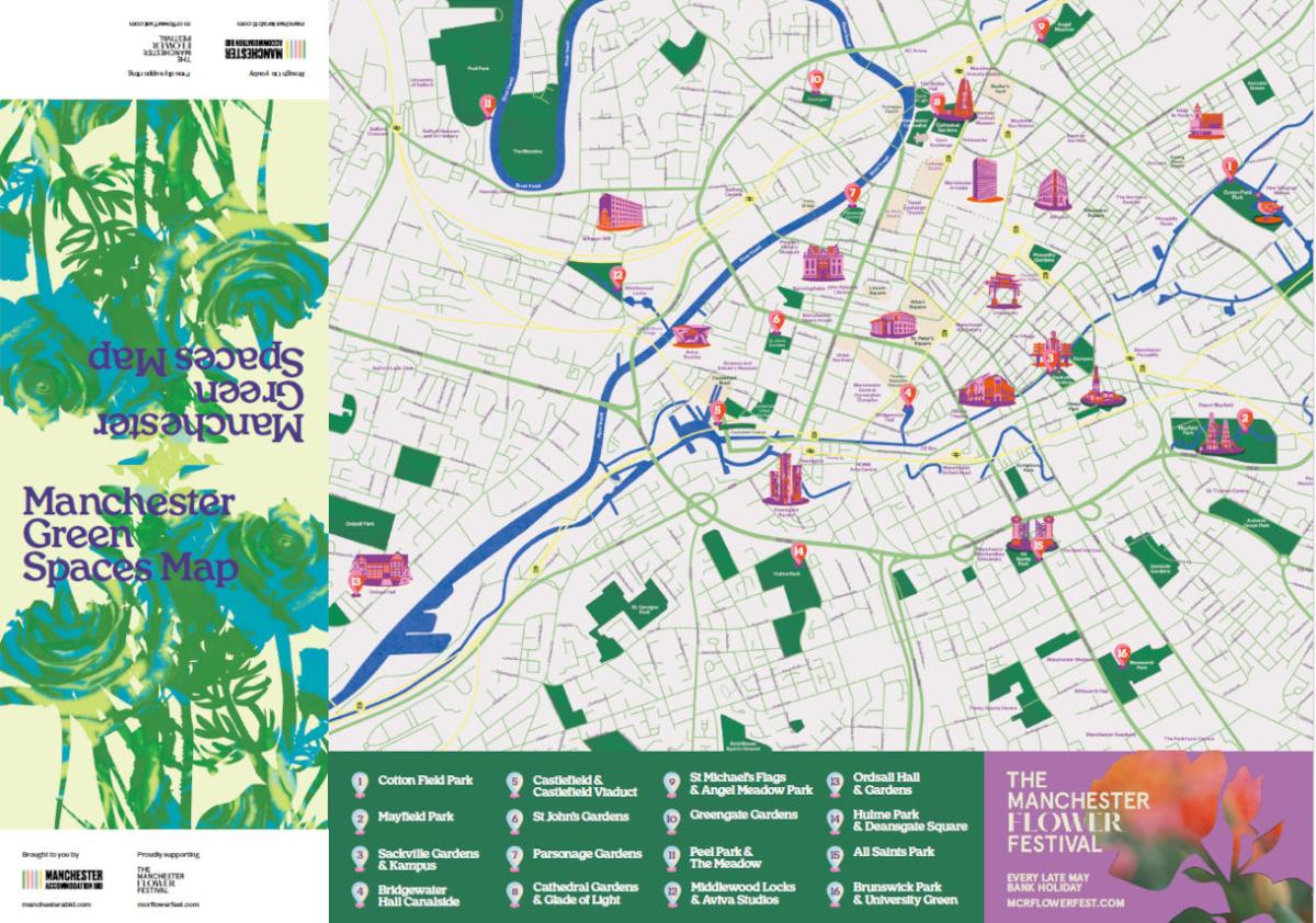
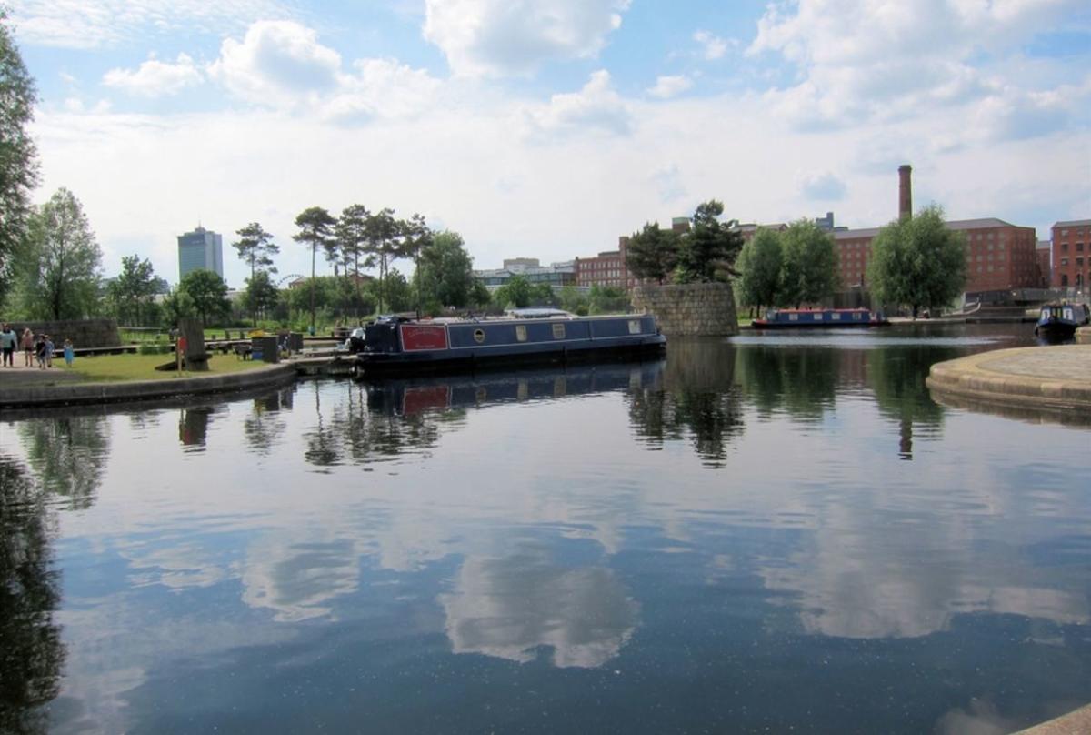
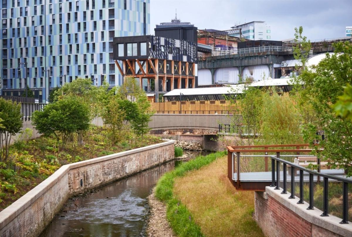
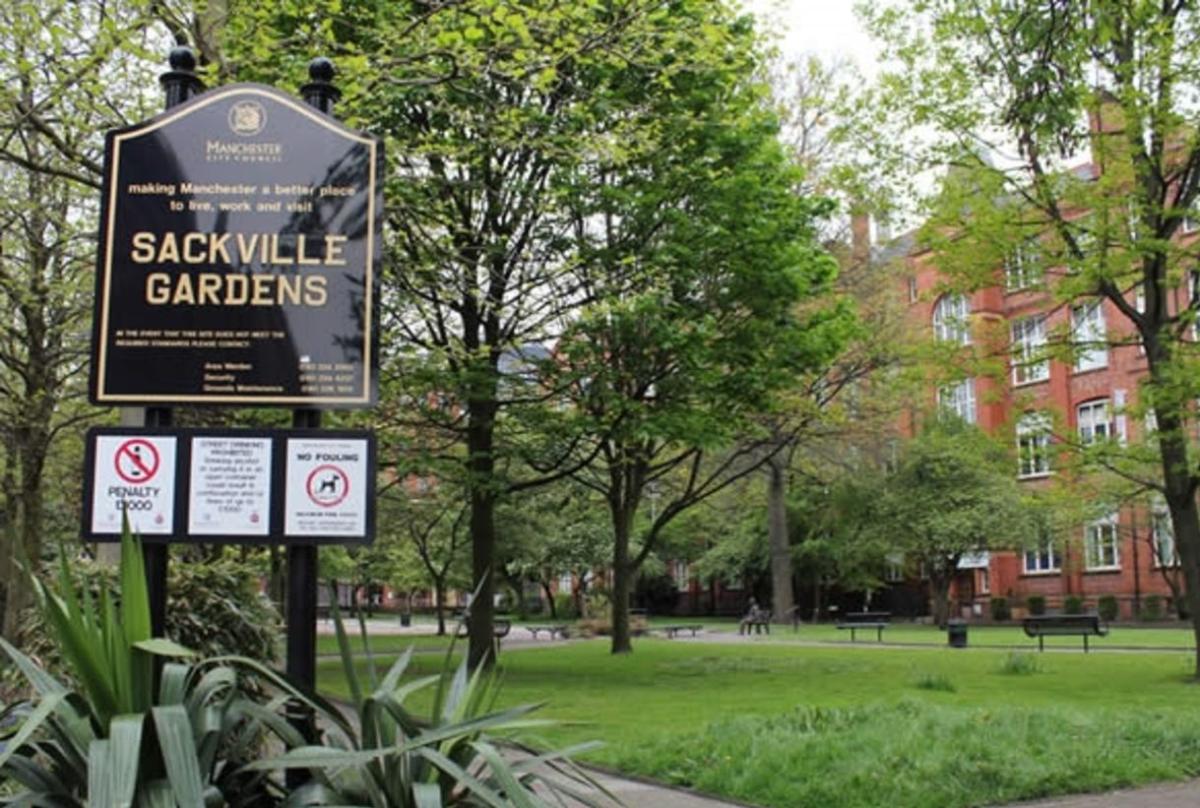
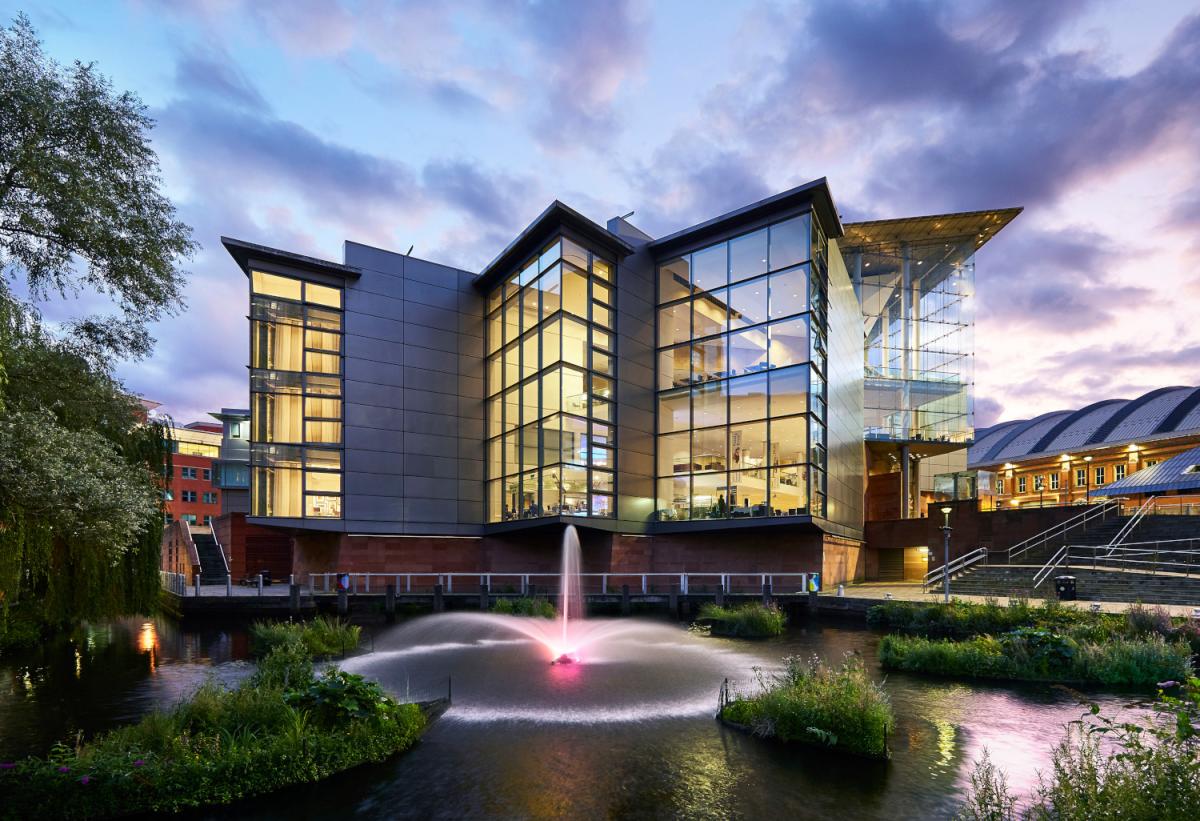
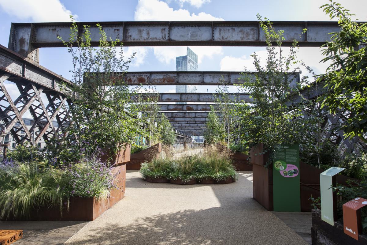
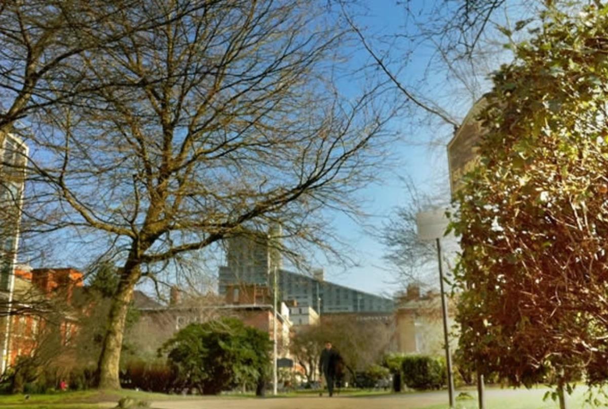
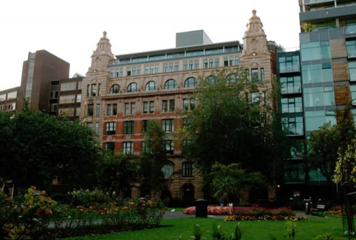
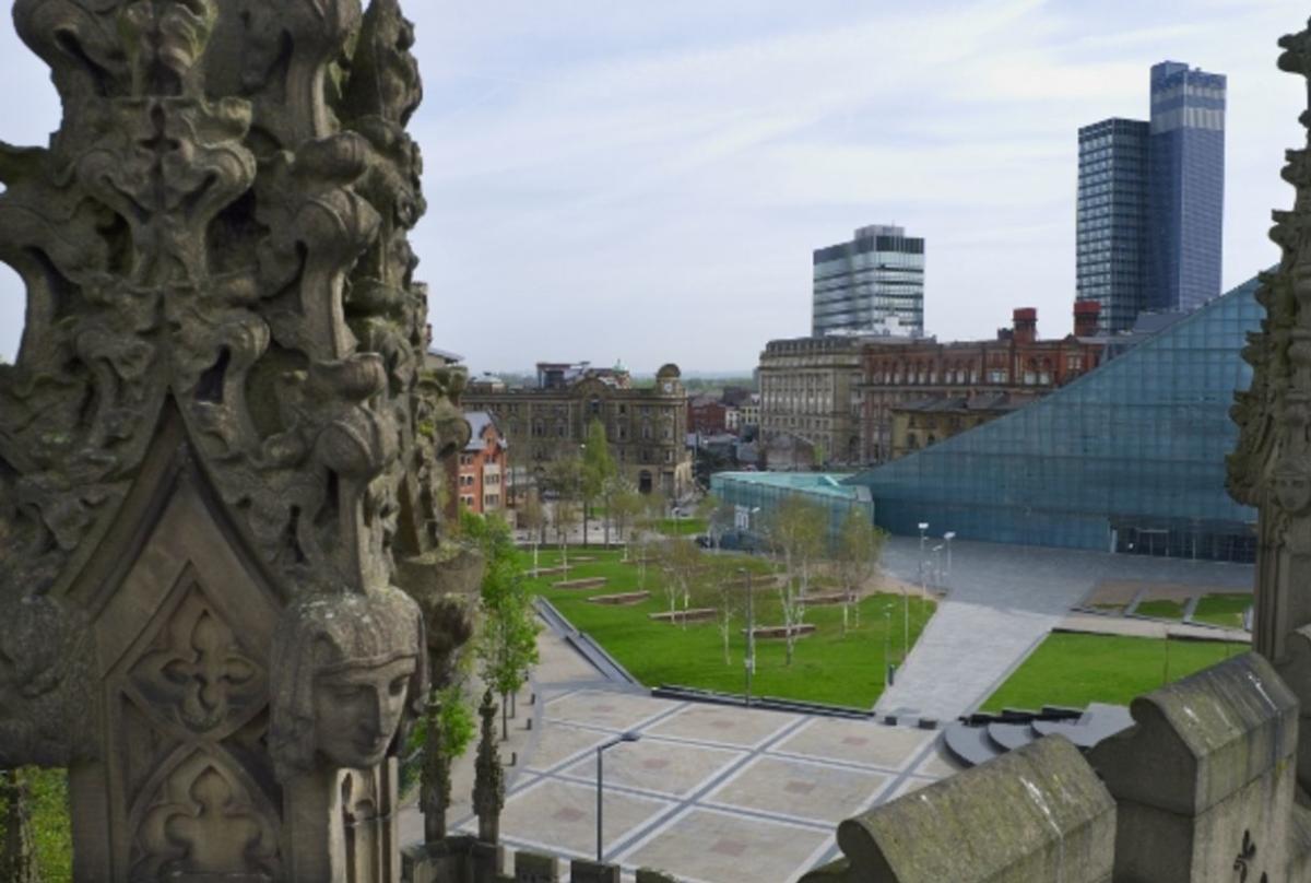
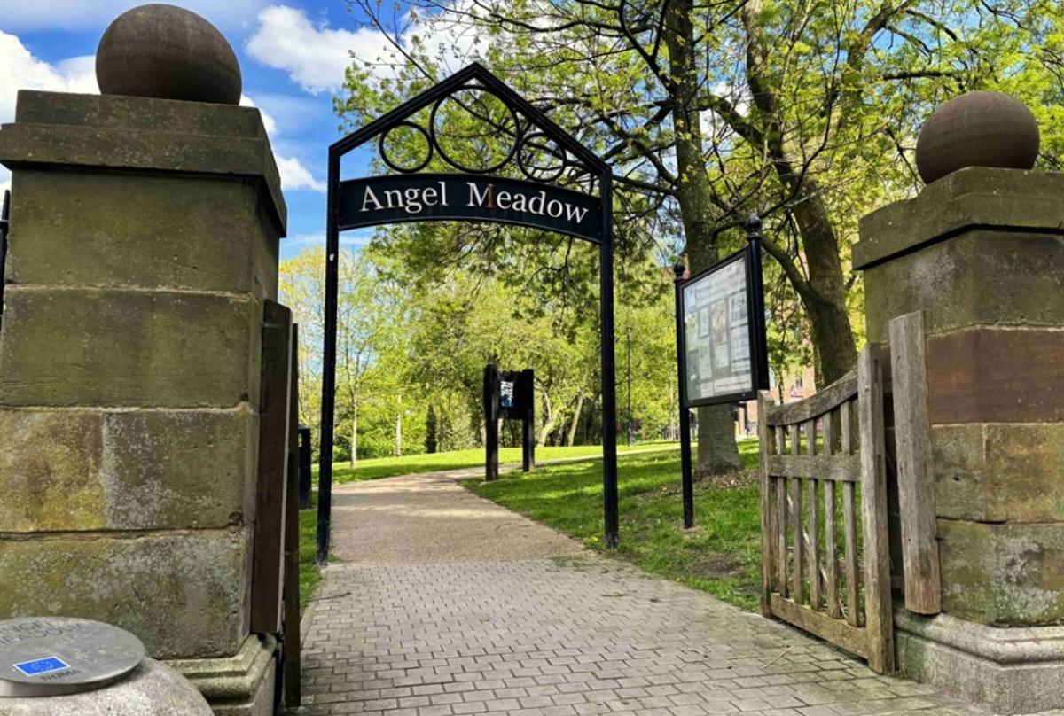
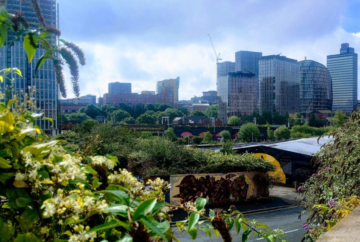
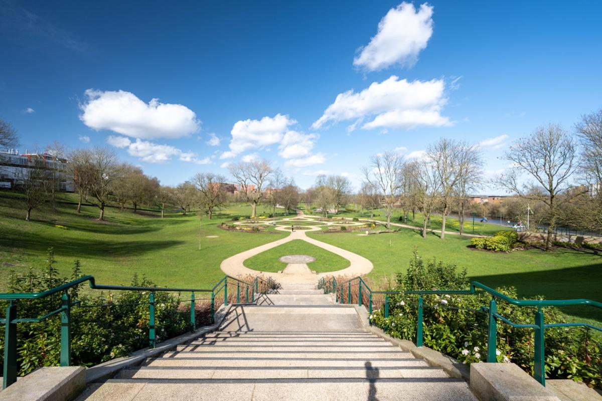
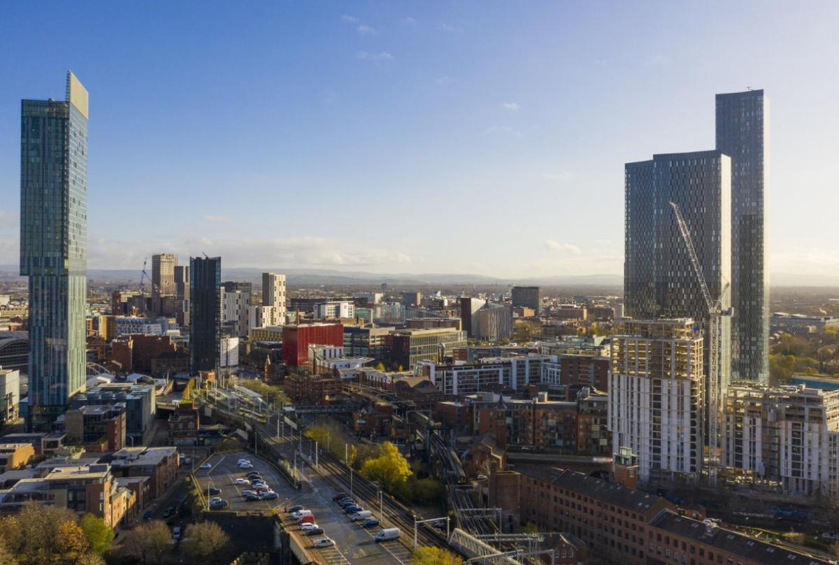
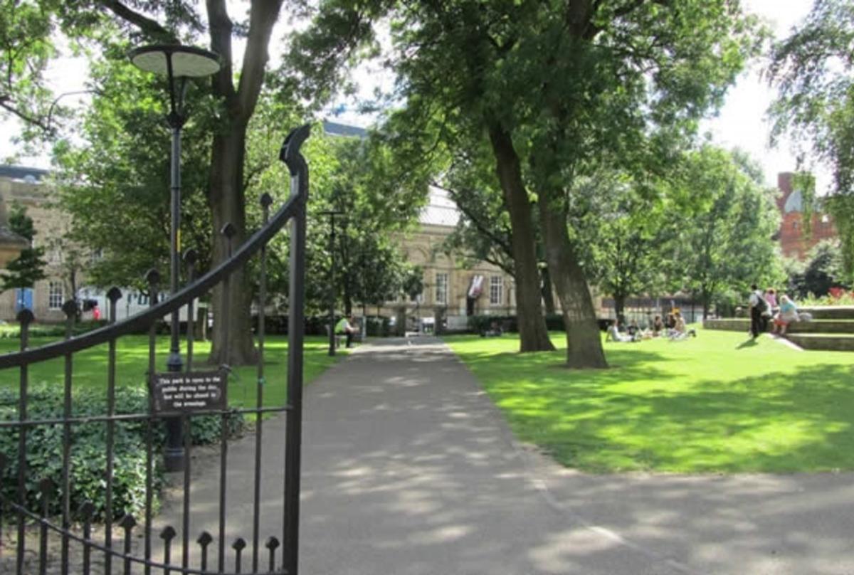
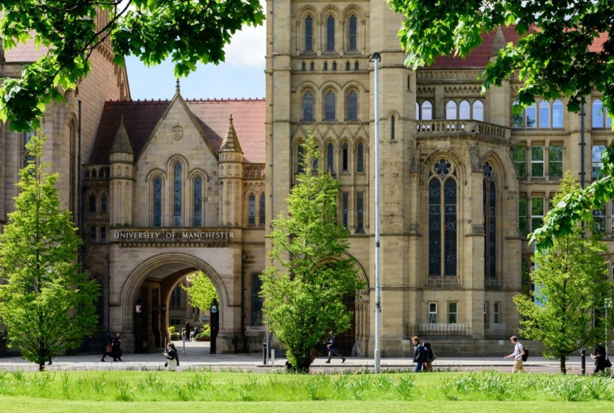
Parks, pocket parks, old parks, new parks and gardens that were graveyards. Canals, wharfsides, rivers and rivers that become canals. There’s a lot to enjoy with the ‘green’ and ‘blue’ assets (to use the jargon) of central Manchester and Salford.
Variety is the spice of life dictated by the way the city grew and its infrastructure needs. For a city 35 miles from the sea there is a lot of water. Rivers you’d expect, but miles and miles of canal add a distinctive element to the urban scene. Rivers and canals feature in many of our chosen areas.
What must be remembered about the city is the distinctive way it grew; first and foremost as an industrial city with commerce chivvying things along. The development speed astonished all commentators, nationally and internationally, as acre after acre of land filled with factories, warehouses and mainly working class housing. So, it’s a curious thing on this map that there is only one nineteenth century planned park or green space, the first one, Peel Park. All the rest are either adaptations from redundant graveyards or date from the last 25 years or so.
What just about all of them share is a backstory with great significance. It makes them all the more enjoyable.
*Commissioned and supported by Manchester ABID
The Manchester Green Spaces Map is written by Jonathan Schofield. Jonathan is a tour guide, writer, public speaker, and broadcaster. He is a registered Blue Badge Guide, Editor of Manchester Books Ltd and Editor-at-Large of Manchester Confidential. Book a city tour at jonathanschofieldtours.com


